


FMB Sketch AP – Check & Get Field Measurement Book Copy
FMB Sketch AP refers to the Field Measurement Book (FMB) record maintained as part of the land survey and records system in Andhra Pradesh.
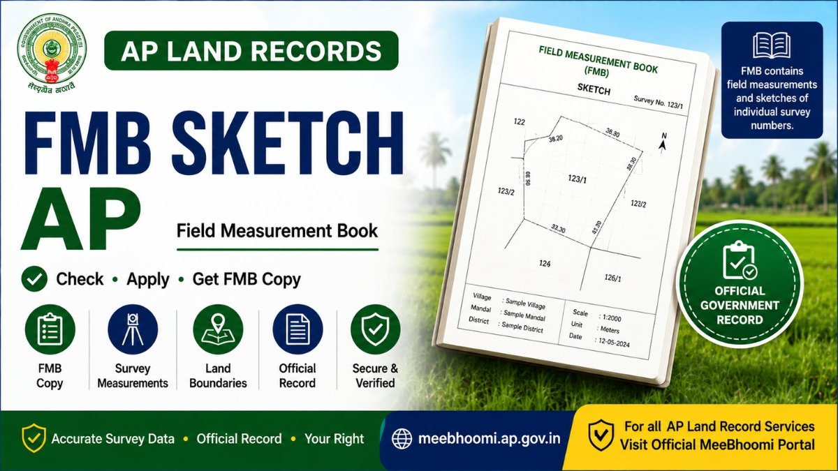
An FMB contains field measurement sketches of individual fields. These measurements are used for identifying and demarcating survey numbers, calculating land areas and preparing maps related to surveyed land. The Andhra Pradesh government FMB service manual describes the FMB copy service as providing field measurement sketches for individual fields.
An FMB sketch can be particularly useful when checking survey boundaries, land measurements, subdivisions and differences between land records.
What Is an FMB Sketch?
FMB stands for Field Measurement Book.
It contains survey measurements and sketches relating to individual fields. These measurements form part of the technical survey records used for demarcation and calculation of land areas.
An FMB sketch may help you understand:
- Survey Number
- Field measurements
- Boundaries
- Sub-divisions
- Land area
- Survey-related measurements
FMB is different from ROR 1B, Adangal and Village Map.
How to Get an FMB Sketch in AP?
The Andhra Pradesh government provides an FMB Copy service through the applicable Revenue service system.
The government service manual describes the process for applying for an FMB Copy through the Revenue Department services.
Generally, you should:
- Keep your land and survey details ready.
- Use the applicable official Revenue service.
- Select the FMB Copy service.
- Provide the requested land details.
- Submit the application through the authorised service channel.
- Track or collect the FMB copy according to the applicable procedure.
Government service procedures, fees and processing times can change, so always check the latest official instructions.
What Details May Be Required?
Depending on the current service requirements, you may need details such as:
- District
- Mandal
- Village
- Survey Number
- Sub-Division Number
- Pattadar/Land details
Keep your existing land records available so that the correct survey number can be identified.
Why Is an FMB Sketch Important?
An FMB sketch can be useful when you need to understand the physical measurement and survey configuration of a land parcel.
It may be helpful for:
- Checking survey boundaries
- Understanding field measurements
- Verifying subdivisions
- Comparing land measurements
- Survey-related applications
- Investigating boundary discrepancies
The official AP FMB documentation explains that measurements recorded in the FMB are used for survey-number demarcation, dispute-related mapping and mathematical calculation of areas.
FMB Sketch vs Village Map
These two records should not be confused.
FMB Sketch: Focuses on field-level measurements and individual survey parcels.
Village Map: Provides a broader map of the village and its surveyed land parcels.
If you need detailed measurements of a particular survey field, an FMB copy is generally more relevant.
FMB Sketch vs ROR 1B and Adangal
Each record has a different purpose:
| Record | Main Purpose |
|---|---|
| FMB | Field measurements and survey sketch |
| ROR 1B | Record of Rights information |
| Adangal | Revenue/cultivation-related information |
| Village Map | Village-level survey map |
| E-Passbook | Pattadar Passbook-related record |
For property verification, it is often useful to compare relevant records rather than relying on one document alone.
What If FMB and Land Documents Are Different?
If the measurements or boundaries shown in an FMB appear different from your registered documents or other land records, do not assume that one record is automatically incorrect.
Compare the:
- Survey Number
- Sub-Division
- Land Extent
- Boundaries
- Registered Documents
- ROR 1B
- Adangal
- Village Map
For serious boundary or ownership disputes, approach the appropriate Survey/Revenue authority.
Frequently Asked Questions
1. What is an FMB Sketch?
An FMB Sketch is a field measurement sketch from the Field Measurement Book, showing survey-related measurements of an individual field.
2. What does FMB stand for?
FMB stands for Field Measurement Book.
3. How can I get an FMB copy in AP?
You can use the applicable FMB Copy Revenue service through an authorised government service channel.
4. Is FMB the same as a Village Map?
No. FMB focuses on field-level measurements, while a Village Map provides a broader village-level survey representation.
5. Can an FMB help with boundary disputes?
FMB measurements can be relevant to survey and boundary matters, but an FMB alone does not automatically resolve a legal ownership or boundary dispute.
6. Is FMB the same as Adangal or ROR 1B?
No. FMB, Adangal and ROR 1B are separate land records serving different purposes.
Official Source
Andhra Pradesh Government – FMB Copy Service
The official AP government FMB service documentation explains the purpose of an FMB copy and the applicable FMB Copy service.
AP Government FMB Copy Service Manual
Official MeeBhoomi AP Portal
MeeBhoomi AP – Official Land Records Portal
Disclaimer
MeeBhoomiAP.org is an independent informational website and is not affiliated with or operated by the Government of Andhra Pradesh.
Government services, procedures, fees and portal features may change. Always verify the latest information through the official government portal or an authorised government service centre.
An FMB sketch is a survey-related record and should not by itself be treated as conclusive proof of legal ownership or title.
Check AP Land Record Services
Visit the official Andhra Pradesh land-record portal for available survey and land-record services.
🔗 Open Official MeeBhoomi